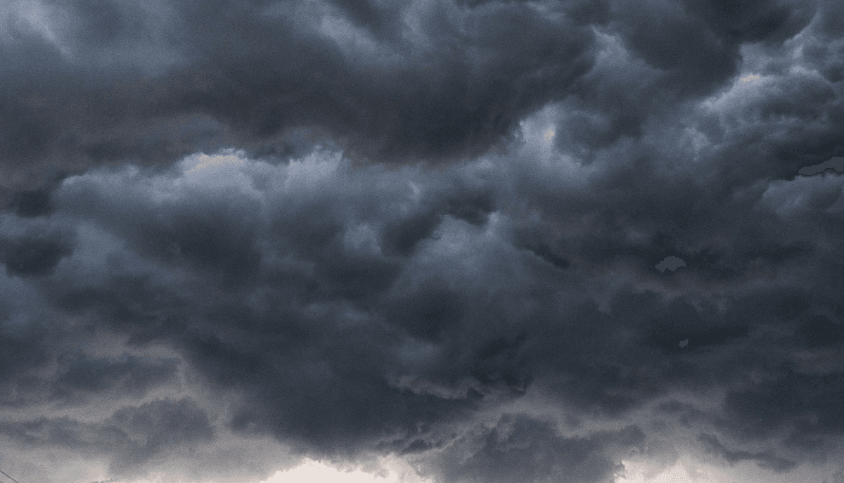
The Storm Prediction Center upgraded parts of Oklahoma, Texas, and Kansas to a Level 4 of 5 moderate risk for severe weather Monday afternoon and overnight into Tuesday. The setup includes a strengthening upper-level trough crossing the southern Plains and a sharp dryline expected to fire discrete supercells along the I-44 corridor between Lawton and Wichita Falls during peak heating. Storms are forecast to develop between 3 and 6 pm local time and continue past midnight as the line organizes into clusters and a possible derecho east of the Caprock. Forecasters at the SPC office in Norman flagged the highest tornado probabilities along the Red River Valley with strong long-track tornadoes possible.
Hail size is the most confident hazard in the forecast. The SPC mesoanalysis showed 4000 to 5000 J/kg of mixed-layer CAPE and deep-layer shear above 50 knots, conditions historically associated with stones larger than baseball size. Several of the discrete cells that initiate Monday afternoon are projected to produce hail of 3 inches in diameter or larger. The Insurance Information Institute estimates that hail caused $26 billion in insured losses in 2024 and the early 2026 season has already exceeded the same week last year by roughly 18 percent.
The 2024 to 2025 wave of Plains hail storms strained property insurance markets across Oklahoma and North Texas where average homeowner premiums have climbed by more than 33 percent since 2022 according to the Texas Department of Insurance. Carriers including State Farm, Allstate, and Farmers raised deductibles on wind and hail coverage to one or two percent of dwelling value in many ZIP codes, which can mean a $4,000 out of pocket cost on a $400,000 home for one event. Insurance advocates have urged homeowners to photograph rooflines and exterior conditions before storm arrival to support any post-event claims.
Aviation operations are expected to be affected through the corridor. Dallas Fort Worth International, Oklahoma City Will Rogers, and Tulsa International all sit within the enhanced or moderate risk areas. American Airlines, the dominant carrier at DFW, issued a Monday travel waiver allowing rebooks through Wednesday for affected passengers without change fees. Southwest Airlines extended its Dallas Love Field waiver through Tuesday morning. The FAA Air Traffic Control System Command Center had ground delays in the system as of Monday afternoon and additional ground stops were expected during the overnight convective wave.
The agricultural impact is also significant. The southern Plains is in peak winter wheat heading and early flowering for cotton and sorghum. Hail of one inch or larger during heading can cut wheat yields by 40 percent or more depending on crop stage. The USDA Crop Progress report Monday afternoon showed Oklahoma winter wheat at 56 percent good to excellent, the strongest condition in three years. Texas A and M extension agronomists were preparing damage assessment teams for Tuesday morning deployment to the corridor between Altus and Wichita Falls.
Public officials have moved into pre-event posture. The Oklahoma Department of Emergency Management activated its state emergency operations center to a Level 2 monitoring status Sunday night and pre-positioned debris management equipment near McAlester and Lawton. Texas Division of Emergency Management did the same in Region 3 covering North Texas. The state climatologist office in Norman noted that Oklahoma already recorded 41 confirmed tornadoes in April 2026, the third highest April count on record behind 2011 and 1957. The US tornado total for the year through April 26 stood at 612, ahead of the 1991 to 2020 average pace of 563.
Schools across the corridor announced early dismissals or schedule changes. Wichita Falls ISD, Lawton Public Schools, and several smaller districts in southwestern Oklahoma moved Monday afternoon and Tuesday morning activities indoors or canceled outright. The Oklahoma Secondary School Activities Association posted updated guidance for spring sports tournaments scheduled in the affected counties. Several college campuses including Cameron University and Midwestern State University also issued shelter in place readiness notices.
Local broadcast stations expanded coverage hours. KFOR Oklahoma City, News 9, and KWTX Waco activated full coverage mode by Monday morning with chasers deployed throughout the high-risk area. The National Weather Service is expected to issue a Particularly Dangerous Situation tornado watch for the highest risk corridor based on Monday afternoon mesoscale guidance. Residents in Oklahoma, North Texas, and southern Kansas were urged to identify their safe room or interior room of a sturdy structure ahead of nightfall and to monitor watches and warnings continuously through Tuesday morning.